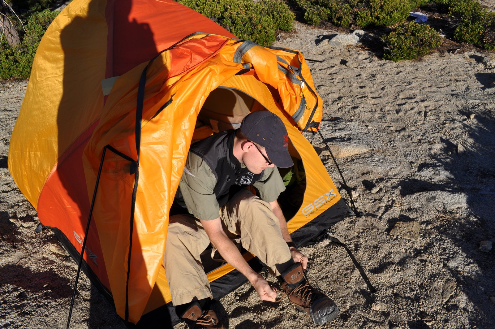
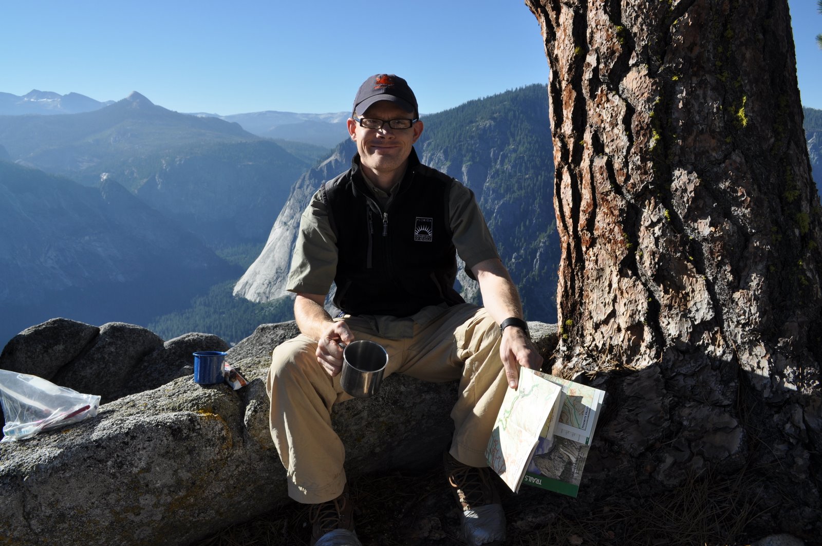
After several breaks and continuous climbing up, up, up we decided to just camp for the night while we were close to water. Our camp was actually just to the left of the trail you can see at the top of the photo below.
Saturday, November 6, 2010
Friday, November 5, 2010
Yosemite 2010 - Day 3 - Over the ridge and into the forest
We set out for the day and were disappointed when we realized we still needed to climb UP. Blah, my muscles were tired of climbing up steps. Also along this rocky terrain, it was really hard to figure out where the trail was. We ended up wandering around a little off the trail, but we had Matt's awesome GPS to guide us. He had programmed in all the points of interest and so all we had to do was find the next stop on the map and head that way. We probably go there a little quicker than by following the trail. We simply went as the crow flies. :-)

We entered the Alpine Forest. The trees were incredibly tall and so so beautiful.
Yeah, we were still pretty tired from the hiking the day before. We stopped here and filtered fresh spring water to drink with our lunch. NOTHING tastes better than fresh ice cold mountain water. It was amazing.
Yosemite 2010 - Day 3 - Breakfast
Yosemite 2010 - End of Day 2
After stopping for a swim in the creek we headed a little further on to our campsite for the night. This campsite was simply gorgeous and we had an amazing view.

Here's Matt boiling the water for our dinner. Served at 8,000 feet.
Here Maggie and I are discussing the massages and pedicures we plan to get when we make it back to civilization.
At the TOP
I wanted to throw in these pictures so you can see the sheer joy we had in finally making it to the top. This was after 6 hours of hiking and climbing.

Matt and Martin went for a swim in Yosemite Creek. This water is FREEZING cold as it's actually melted snow runoff. This water runs down the creek and eventually becomes the Falls.
Wednesday, November 3, 2010
Yosemite 2010 - Day Two - Part Three
We finally make it to the top of the Lower Falls and the bottom of the Upper Falls (not confusing at all, huh?).
We stop for lunch. Martin and Maggie found this nice shady spot with lots of rocks sitting and resting. Lunch consisted of trail mix (mixed nuts, craisins and M&M's - My specialty), peanut butter and cheddar crackers and cool water from my Camelback (best purchase ever for hiking - keeps water close by and easy to reach. I could drink and not stop walking).
Not exactly the Four Seasons, but it was delicious.
Yosemite 2010 - Day Two - Part Two - Starting up the trail...
Did I say 2.5 miles? I meant 3.5...which really makes no difference since it wasn't the length of the trail that was killer as much as the ALTITUDE GAINED. Yes, that's right I used the word ALTITUDE. Because saying we were up pretty high just doesn't do it justice.
Let me give you a little perspective: Tampa is located at sea level, Tallahassee is located as sea level. In fact, I've lived at sea level for the past 5 years. We'll call sea level "0" (this is supposed to be a zero, but for some reason this font makes it look like a fat lowercase 'O' - but I assure you I hit the zero number key and I also assure you I'm way to lazy to mess with the font.) San Jose, CA (where we flew into from the east) is also at sea level. Yosemite Valley is at 4,000 feet. So we had basically gone from 0 to 4,000 vertical feet on our drive from San Jose to Yosemite Valley. By the end of our hike today, we will have gone from 4,000 to 8,000 feet. This means that in 3.5 miles, we will have climbed 4,000 vertical feet. My knees will NEVER be the same, that's all I'm sayin'
That up arrow is actually pretty accurate.
The start of the switchbacks. I took this picture in the beginning when I still had the energy to care about photos of switchbacks. I was naive enough to think that I would need a picture for my memories. Ha. These switchbacks are burned into my brain. I will be 100 years old and won't be able to remember my own name and I'll still be able to describe the shear horror of the switchbacks on this trail.
It wasn't all horror, though. Our views just got better and better. See those pine trees? They're about 200 feet tall when you're standing underneath them. Just a little perspective. And that's a gorgeous view of Half Dome in the background.
yeah, I was tired and this rock held up my pack for me. Plus it was in the shade. I think I sat here a while. Also, I don't normally wear a baseball cap up on my head like that. The stuff on my backpack was so high it kept pushing my hat up on my forehead like that. I was too tired to keep fixing it and just went with it.
Coming Up: WE SUMMIT!
Yosemite 2010 - Day 2 - July 30 (part one)
Hmmm...perhaps we can just ignore the time between this blog being published and the last one. Sorry about the delay, I know you ALL must be on pins and needles to see if we make it out of Yosemite in one piece (hint: we do). I'm just behind on documenting these things. Forgive me. On to DAY TWO!!
We started the morning by getting up early and packing all of our food back into our backpacks, putting away our tents and heading over to the Wilderness Camping office to pick up our Bear Canisters (special holders for your food in the back country that bears can't open). Then we unpacked our bags and packed all our food into our bear canisters. We each ended up carrying one canister a piece which added about 3 pounds to your pack. Can't say that any of us were really happy about the extra weight, but we also didn't want to lay out a buffet, as it were, for the bears to feast on our meager rations. (I say meager because it was mainly dehydrated food and bears have no clue how to boil water in order to cook this food.)
Maggie, Martin and Matt heading to the Wilderness Camping office as Yosemite Falls looms overhead.
Once we were finally packed with all the things we weren't carrying up the mountain stowed in the car, we hopped on the bus that goes around the park and headed over to the trail head for Yosemite Falls.
Wednesday, October 13, 2010
Yosemite 2010 - Day 1 - July 29
Yosemite Falls - Upper and Lower Falls
Day One - July 29, 2010
We got up early to catch a flight out of Orlando. We actually flew over Disney World in the early morning hours. It was so cool to see the Magic Kingdom from overhead. We also flew right along the Florida gulf coast so I'm sure I could have seen our house in Crawfordville. I actually DID see Apalachicola, St. George Island and St. Joe's Peninsula. Very cool. It was like looking down at a huge map. Poor Matt had the middle seat and he slept most of the way. After a layover in Dallas we headed farther west to San Jose, CA.
Once we landed in San Jose, we met up with Martin and Maggie and started the 4 hour drive out to Yosemite. We had fun talking and listening to music. We were so excited when we finally started seeing mountains. After a little detour when the navigation lead us to a closed road, we made it into the park. We stopped at the first pull-off we saw and headed down to enjoy the mountain stream and fresh mountain air. It was so exciting to finally be there and experience the hugeness of the mountains and the trees. It is an incredibly beautiful place.
Me, enjoying the first stream and finally being out of a car or plane after about 9 hours of traveling.
We headed farther into the park and we finally came up to Yosemite Falls. This is what we were climbing the next day. I got a real sense of how far up we were going to have to go.
Click on this photo so you can see my comments.
You can see the line of tiny cars at the bottom of the screen. (Between the green grass and the darker green trees.) That sort of puts the size and height of the falls into perspective. We were already at 4,000 above sea level inside Yosemite Valley. We were going to climb another 4,000 feet the next day to the top of the falls which is at approx. 8,000 feet. Pretty wild.
There is a special campsite for backpackers to use on the night before and after their actual hike. We were right underneath Half Dome. The camp was kind of hidden behind another camping area and with the sun going down it was difficult to find. We finally found it and set up our camp. We headed over to Yosemite's Camp Curry for our "last supper". It was late and our only choice was pizza which was fine by us. We filled up on pizza and headed back to camp.
Monday, October 11, 2010
Finally...Yosemite 2010
So I have been a terrible blogger this month. I missed a week of work to be home for Grandpa's funeral and just as I was finally feeling caught up with all the work last week, I was called in for a meeting on Friday and was told the company was taking a different direction they did not foresee when they hired me and now my position was being cut. Effective immediately. So now I'm once again looking for employment in Tampa. Not at all how I would like to be spending my time.
Anyways, now I actually have the time to blog about our trip to Yosemite. About 2 months later.
Matt loves to be outdoors. He's an Eagle Scout and has been camping and backpacking around the country for years. He spent 3 months during the summer in college working for a youth corp. that built trails for hikers in the 4 corners area of Colorado. He's spent WEEKS living out of a tent and eating camp food. He has all the equipment for wilderness survival: the subzero sleeping bag, the tent, the water filter, the camp stove and tons of other stuff. He's one of the most fastidious people I know normally, but when he gets out in the woods he's totally OK with dirt, sweat and not showering for days.
I, on the other hand, am not really ANY of those things. But I adapt well. My family went to the beach for vacations. We did not sleep on sleeping bags on the floor or eat outdoors unless you count the patio at Sea N' Suds in Gulf Shores. The first time I ever went camping or slept outdoors was with Matt.
Matt has wanted to spend a vacation in the wilderness for years. So about this time last year he started planning and looking at different hiking options. At most National Parks, you have to apply for a back country permit before you are allowed to hike. You can't just show up with your backpack at the park and expect to park your tent wherever you please. In order to apply for these permit, you have to detail your entire trip including what trails you plan to take and how many days you will be camping. Matt worked for hours and hours on a schedule for each park and put in our applications for several different parks. Our trip was accepted at Yosemite National Park in CA. Martin and Maggie joined us and our team was set. We were California bound!
Day 1 to follow tomorrow.....
Subscribe to:
Posts (Atom)